Overview
Open 5 a.m. -10 p.m. unless otherwise posted or permitted.
Parking: No fee
900 Dornan Drive Richmond, CA 94801
(510) 544-3108
Toll Free: 888-EBPARKS (888-327-2757), option 3, extension 4544
Internet & Cellular Access

Check AT&T, T-Mobile & Verizon Coverage.
Select 'Map Layers' and switch on 'No Data Coverage Areas'
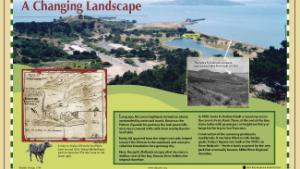
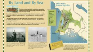
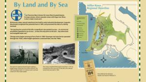
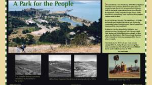
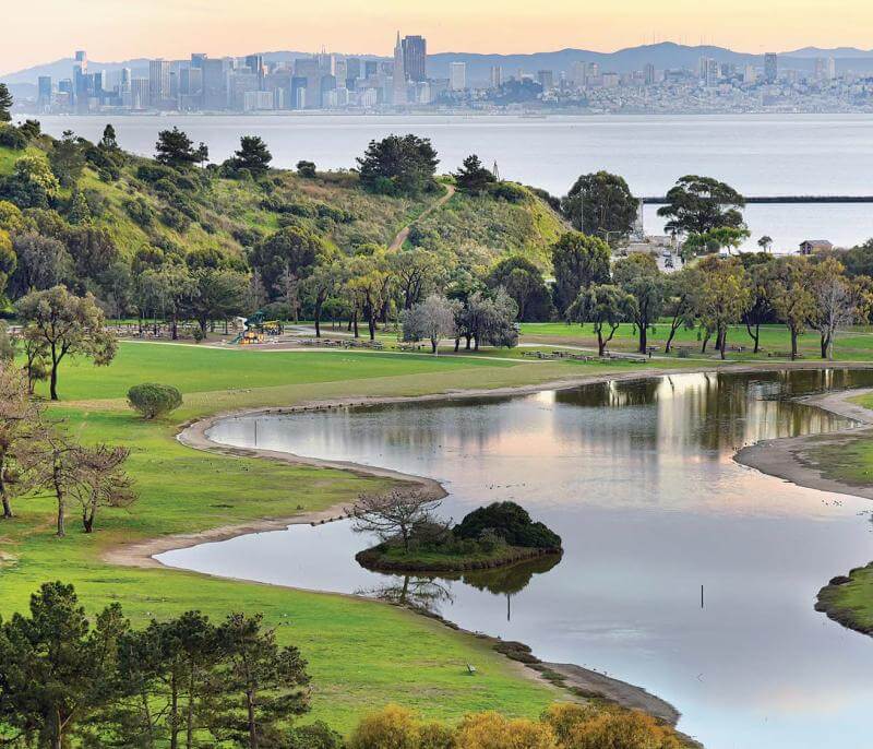
A beautifully situated shoreline picnic area, a secluded cove with swimming beach, a fishing pier at a historic site a hilltop with excellent panoramic views of the North Bay Area and a model railroad museum - all these attractions are part of 307-acre Miller/Knox Regional Shoreline in Richmond.
The park was named in honor of the late State Senator George Miller, Jr., and for the late John T. Knox, a Point Richmond resident and former State Assemblyman.
Keller Beach and Ferry Point are official San Francisco Bay Water Trail sites.
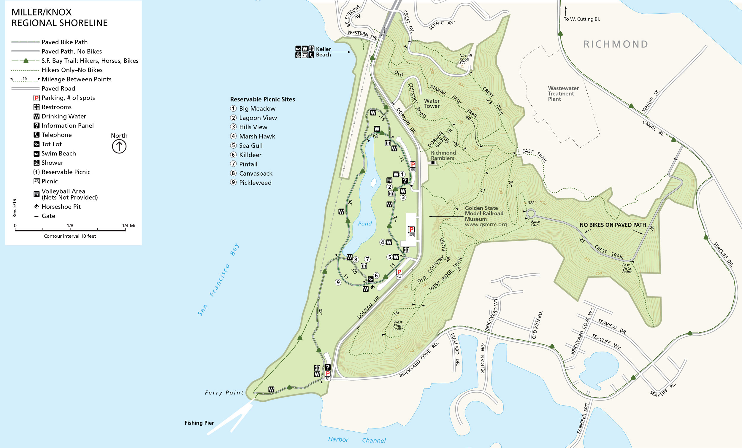
The park is located on Dornan Drive, south through the automobile tunnel from Garrard Boulevard in Point Richmond.
To Reach The Park
Maps
Park Accessibility
All picnic areas are wheelchair accessible.
Accessibility Resources
Access Northern California, in partnership with BORP, provides information related to accessibility at Miller/Knox Regional Shoreline. Access Northern California Miller/Knox Regional Shoreline Accessibility Page
(Disclaimer: The Park District has not reviewed and does not guarantee the accuracy of the information provided by Access Northern California Accessibility.)
Attractions
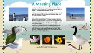
A mile-long jogging and bicycling trail loops around the lagoon which is home and feeding ground to many waterfowl.
Picnicking
The picnic facilities are on a tree-shaded lawn surrounding a saltwater lagoon. Several of the larger picnic sites are reservable for group parties. For more information, view our Miller/Knox Picnic Areas webpage, and call Reservation to reserve.. Please note: Alcohol including beer and wine, is no longer permitted at this park at any time.
Swimming
Keller Beach, a gift to the park from the City of Richmond, is at the north end of Miller/Knox. There, visitors can wade and swim in San Francisco Bay. No lifeguards are on duty. Picnic tables and restrooms are nearby. For more information regarding hours and swimming conditions, check the Keller Beach swimming page.
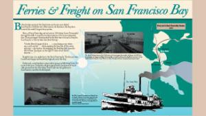
Ferry Point is at the south end of Miller/Knox. Anglers may have good luck catching starry flounder, perch, sand dab, striped bass, and other Bay fish from the fishing pier located at this historic ferry terminal. There is an ADA accessible ramp leading to the high tide line at Ferry Point Beach that kayakers can use to get their boats to the water.
A hike to the top of the nearby grassy hills is rewarded by spectacular views in all directions (hike description, 68 kb pdf). Mount Tamalpais, the San Francisco skyline, Brooks Island, and East Bay hills are all visible on clear days. The prevailing winds make for excellent kite flying.
Dogs must be on-leash (six-foot maximum leash length) in the main part of Miller/Knox - the area west of Dornan Drive. Dogs are not allowed in the lagoon.
Learn about the Ferry Point Loop of the San Francisco Bay Trail encircling Miller/Knox.
Keller Beach and Ferry Point are designated San Francisco Bay Water Trail trailheads.
Don't miss the Golden State Model Railroad Museum across from the park entrance.