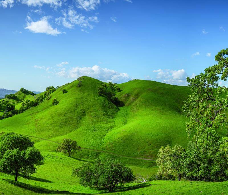
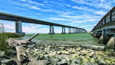
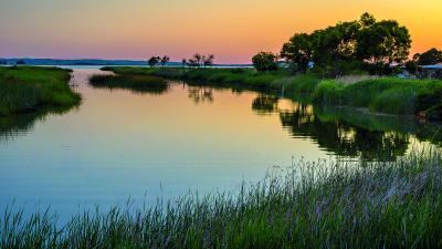
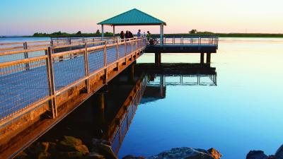
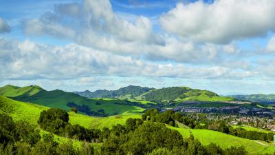
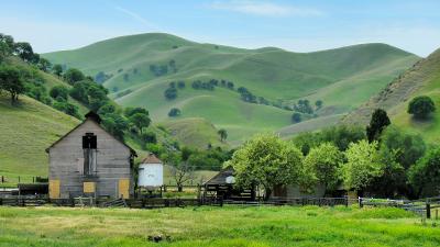
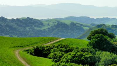
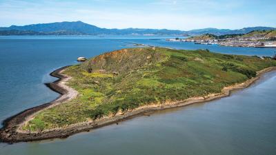
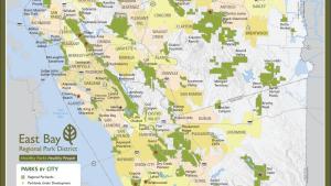
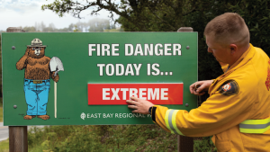
These parklands help to ensure preservation of the natural beauty that makes the Bay Area such a desirable place to live. They provide habitat for wildlife, including many rare and endangered species. They also enhance the region's quality of life, resulting in tangible economic benefits as well as aesthetic values. The Park District offers an extraordinary choice of recreational and educational activities. Whether you enjoy fishing, swimming, hiking, bicycling, picnicking, nature programs, golf, other active pastimes, or just relaxing in beautiful natural surroundings, there is a park for you. Please refer to our Public Transit page for numerous resources in assisting you in your travels to your Regional Parks.
Visitor Information
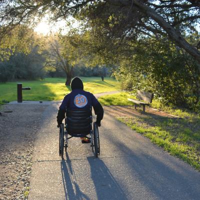


Trails Challenge
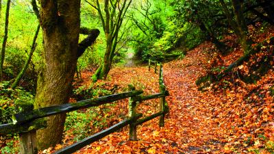
The Trails Challenge program encourages park visitors to explore new trails by foot, bicycle, horseback, or even in-line skating! Every year more than 10,000 people participate in this FREE self-guided hiking and bicycling program to explore the East Bay Regional Parks and to keep fit outdoors. Trails Challenge is a free program made possible through a partnership between the East Bay Regional Park District, the Regional Parks Foundation, and Kaiser Permanente.